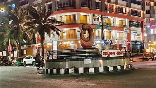
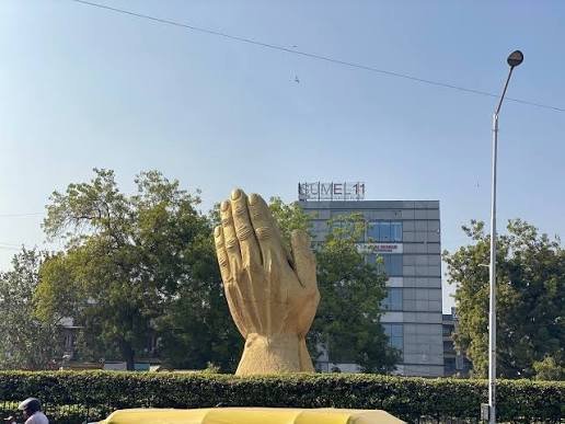
Twenty years ago, this stretch of South Bengaluru was still mostly farmland and quiet lanes. Today, Uttarahalli Circle anchors one of the city’s steadier growth corridors — a junction where Subramanyapura Main Road meets Uttarahalli Main Road, surrounded by layouts that have gone from sparse to fully built-up within a decade.
It’s not flashy, and it doesn’t try to be. What it offers instead is something a lot of Bengaluru buyers actively look for: reasonable prices, decent infrastructure, and a commute that hasn’t yet become unbearable.

Uttarahalli Circle Overview
| Detail | Information |
| Locality | Uttarahalli, South West Bengaluru |
| PIN Code | 560061 |
| Junction Roads | Subramanyapura Main Road, Uttarahalli Main Road |
| Nearest Metro | Yelachenahalli, JP Nagar, Banashankari (Green Line) |
| Nearest Railway Station | Nayandahalli Railway Station |
| Bordering Localities | Padmanabhanagar, Kumaraswamy Layout, Chikkalasandra, Banashankari |
| Notable Tech Hub | Global Village Tech Park |
| Average Property Price | Around ₹14,250 per sq. ft. |
The Roads That Make the Circle
Uttarahalli Circle sits at the point where Subramanyapura Main Road crosses Uttarahalli Main Road — a junction that carries most of the north-south and east-west traffic for the surrounding layouts. This isn’t a scenic landmark; it’s a functional intersection that residents navigate daily for everything from grocery runs to office commutes.
The circle benefits from proximity to NICE Road, roughly 4-5 km away, which gives residents a faster route toward outer parts of the city without cutting through central Bengaluru’s congestion.
Metro and Rail Access
Uttarahalli doesn’t have a metro station sitting directly on the circle, but it’s ringed by several options on the Green Line:
- Yelachenahalli Metro Station — one of the closer stations, commonly used by residents in the southern part of the locality
- JP Nagar Metro Station — connects toward central Bengaluru and the broader Green Line corridor
- Banashankari Metro Station — slightly further but paired with the Banashankari Bus Station, making it a common combined-transport option
- Doddakallasandra and Konanakunte Cross stations — additional Green Line options within roughly 2.5-2.7 km
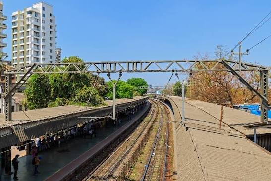
For rail travel, Nayandahalli Railway Station is the closest option, though most residents rely on the metro network for daily commuting rather than suburban rail.
Getting Around by Bus and Auto
Local transport here runs on a dense network of stops rather than one central hub:
- Uttarahalli Bus Station functions as the primary BMTC stop for the locality
- D33 Uttarahalli BMTC Depot adds extra capacity for routes heading toward central and southern Bengaluru
- Chikkalasandra and Arehalli Gate bus stops cover the immediate neighbourhood
- Autos remain the most practical option for the final stretch between the circle and residential lanes set back from the main road
What Surrounds Uttarahalli Circle
The locality has built up steadily around a mix of daily-needs retail and healthcare:
- Healthcare: Vasavi Hospital, NU Hospitals (South), and Manipal Hospitals Jayanagar are all within a short drive
- Shopping: Gopalan Arcade Mall, Sarakki Market, and the Jayanagar Shopping Complex cover most retail needs
- Education: Greenvalley High School and several other institutions serve the residential population
- Employment hub: Global Village Tech Park, one of the larger IT campuses in this part of the city, sits within reach and drives a fair share of local rental demand
- Green spaces: BBMP Park and SEWA Park give the area some breathing room compared to denser parts of the city
Why Buyers and Renters Keep Choosing This Area
Property prices here have moved up noticeably over the past year, and the reasons aren’t hard to spot. It’s cheaper than established South Bengaluru addresses like Jayanagar or Basavanagudi, yet close enough to both that residents don’t feel cut off. The metro coverage, while not directly on the circle, is dense enough within a 3 km radius that most people manage without a personal vehicle. The trade-off, as with much of South Bengaluru, is monsoon-season waterlogging in a few low-lying stretches — worth checking before committing to a specific street or layout.
FAQs
Q1. Is Uttarahalli Circle within walking distance of a metro station?
Not quite — the nearest stations (Yelachenahalli, JP Nagar) sit roughly 3-5 km away. Most residents use an auto or a short bus ride to cover that last stretch.
Q2. How far is Uttarahalli Circle from Bengaluru’s tech corridors?
It’s about 9 km from IT hubs like Sattava Global City and IBC Knowledge Park, which keeps commute times reasonable compared to areas further from the city’s employment centres.
Q3. Is Uttarahalli Circle prone to flooding during monsoon?
Some low-lying pockets do see waterlogging during heavy rain, a common complaint among residents. It’s worth asking specifically about drainage when scouting a property in this area.
Q4. What makes Uttarahalli different from nearby Banashankari or JP Nagar?
Pricing, mainly. Uttarahalli offers noticeably lower property rates while still sitting close enough to both established localities to share their metro access, hospitals, and retail options — making it a common choice for buyers priced out of the more central addresses.